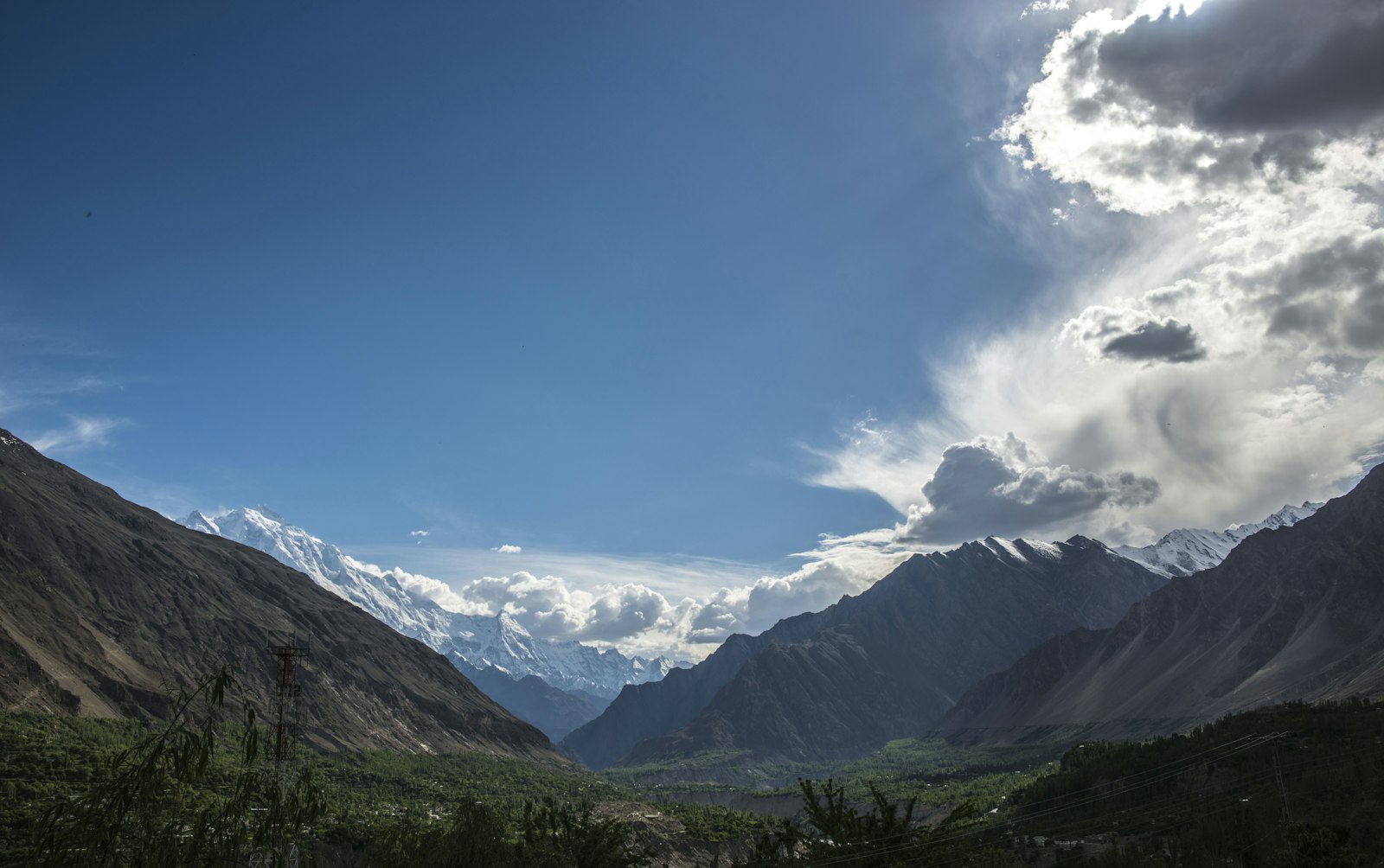
Chasing light on the Karakoram Highway
Three weeks, one borrowed 4×4, and the highest paved border crossing on earth. Planning notes before I lose signal for a month.
I have been reading about the Karakoram Highway for four years and finding reasons not to go. The reasons were always logistical and always solvable, which is the tell — I was waiting for permission I was never going to get from anyone but myself.
The rough shape of it
Islamabad north, slowly. Naran and the Babusar Pass if the snow has cleared, otherwise the long way through Besham. Then Gilgit, Karimabad for as many days as it takes to stop feeling like a tourist, and up to Khunjerab if the border is behaving.
- Three weeks, deliberately under-planned after the first five days
- One bag, one camera, one paperback I will not finish
- Altitude days built in — Khunjerab sits at 4,693 m and does not negotiate
- No fixed return date past the third week
Every good trip I have taken had an itinerary I abandoned by day four.
What I am actually nervous about
Not the roads. The part where I am offline for long enough that whatever I was anxious about before I left has to survive on its own. That has never once gone badly, and I am nervous about it every single time.
Full write-up when I am back, assuming the camera survives the dust.